


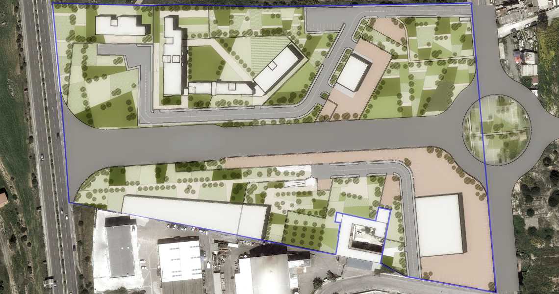
L'area di progetto, una ex area produttiva fortemente degradata estesa su circa 5 ettari, viene individuata nel PUC come area da assoggettare a riqualificazione ambientale e di riasseto urbanistico mediante l'insediamento di un programma complesso che unisce la residenza, i servizi generali e il parco urbano; si tratta inoltre di un importante snodo per la riorganizzazione del sistema viario periferico della città, ragion per cui il piano prevede una grande strada di scorrimento che taglia longitudinalmente il comparto in due parti.
Il progetto si inserisce come un tassello urbano in cui le varie funzioni si integrano con spazi pubblici e verdi, in cui gli edifici, le infrastrutture, gli spazi liberi e quelli urbanizzati concorrono a generare una complessità strutturale e funzionale.Il disegno dell'area prende le mosse dalle relazioni visuali e spaziali che essa intrattiene con il contesto ambientale (stagno di Santa Gilla), con lo skyline cittadino e col sistema viario al contorno, in un sistema di punti focali e margini che determina il disegno finale.
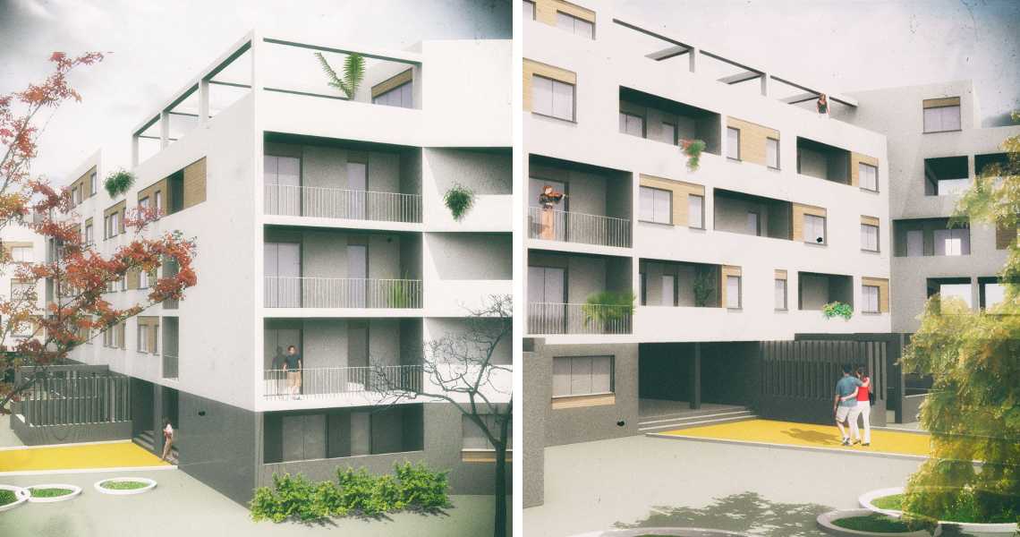
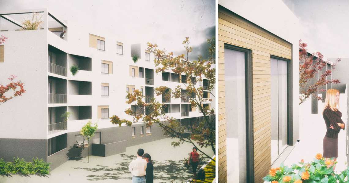
Il programma accorpa la funzione residenziale in un corpo unitario disegnato per garantire le visuali privilegiate, le volumetrie per servizi e quelle destinate alle funzioni del parco urbano occupano la restante parte dell'area inserendosi in un esteso sistema verde in cui la viabilità interna e quella al contorno non sono barriere ma elementi perfettamente integrati.
The project area is a former highly degraded industrial area of about 5 hectares, located in the Cagliari's Masterplan as an area to be subjected to environmental restoration and urban renovation through the establishment of a complex program that combines housing, general services and urban park; it is also an important hub for the reorganization of the peripheral road system of the city, so that the plan provides for a large slip road that cuts longitudinally the fund into two separate areas.
The project is included as an urban piece in which the various functions integrate with public and green spaces, in which buildings, infrastructure, free and urbanized areas work together to produce a structural and functional complexity. The area design comes on the visual and spatial relationships that it has with the context environment (pond of Santa Gilla), with the city skyline and with the road system, into a focal point system and edges that determines the final program.
The plan incorporates residential function in a unitary building designed to ensure the privileged visual, the volumes for services and those destined for the urban park functions occupy the rest of the area becoming part of an extensive green system in which the internal roads and the boundary are not barriers but elements seamlessly integrated.